|
•
|
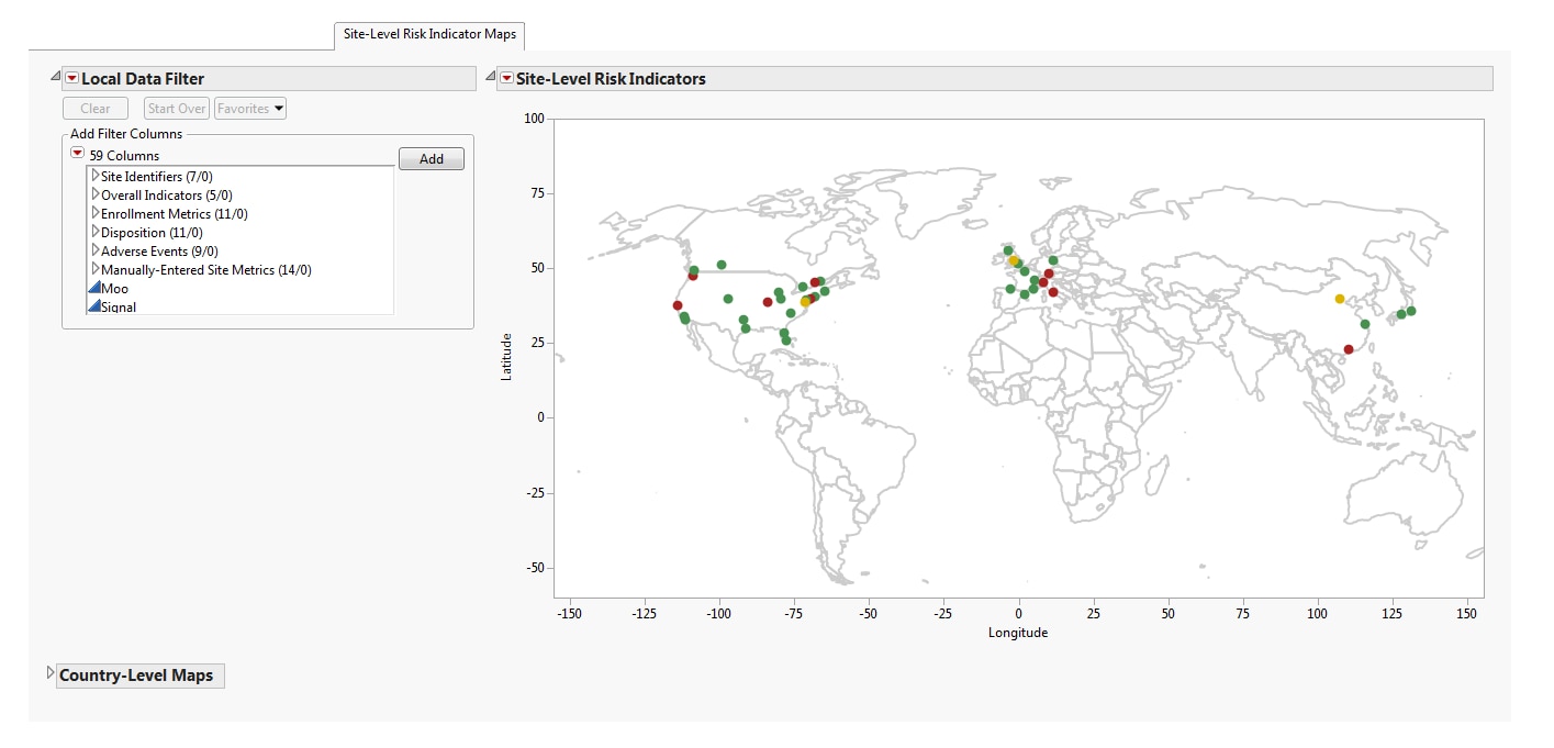
Maps
: A global map is provided detailing the location of clinical sites based on the available geocoding. The colors of the site markers are based on the risk indicator selected from the
Risk Indicators
drill down. These colors enable you to identify if a risk is attributable to specific locations. Maps at the country level are available for the United States, Canada, France, Germany, Great Britain, Italy, Spain, China, and Japan.
Note
: Maps are provided only for these countries if they are present in the study database.
|
|
•
|
A
Local Data Filter
to subset histograms to data of interest, for example, to data for a particular set of study monitors.
|