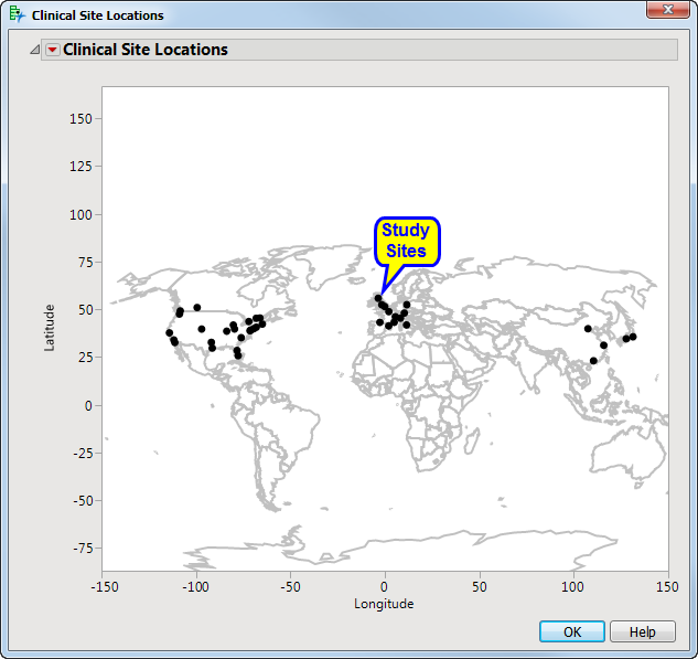
A geographical map displays the boundaries of physical entities, landmarks, and other features on a latitude (Y axis) and longitude (X axis) scale. Dots indicate the location of the study sites.
A geographical map displays the boundaries of physical entities, landmarks, and other features on a latitude (Y axis) and longitude (X axis) scale. Dots indicate the location of the study sites.