For the latest version of JMP Help, visit JMP.com/help.

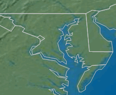
Figure 15.19 Example of U.S. State Boundaries
1.
Right-click a blank area on the graph and select Background Map (or select Graph > Background Map in Graph Builder).
Select Simple Earth, Detailed Earth, NASA server, or Street Map Service in the Images column.
Select Web Map Service and paste a WMS URL next to URL. Enter the layer identifier next to Layer.
4.

Help created on 3/19/2020